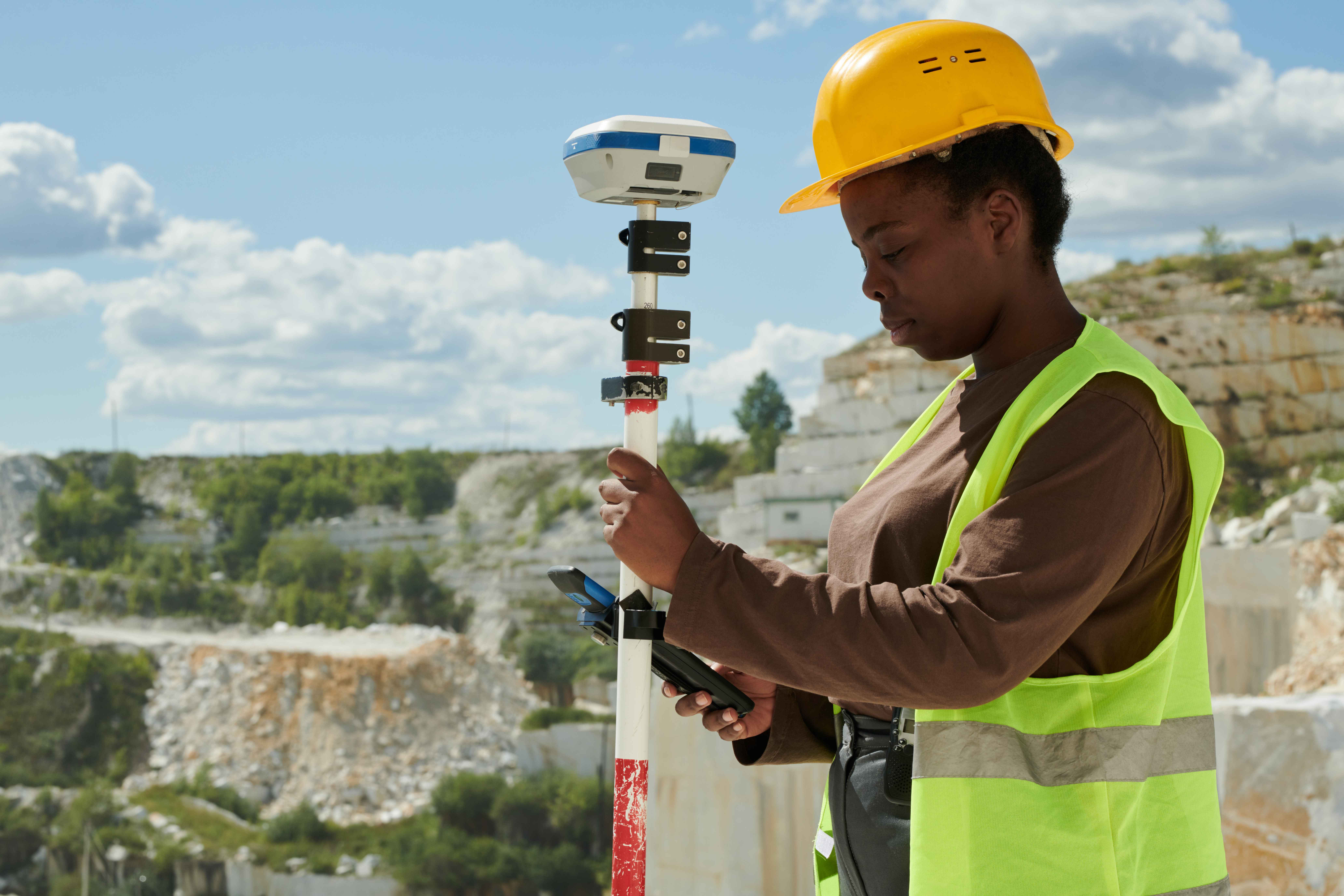
Dural Informatics Ltd offers a comprehensive range of surveying and geoinformatics services to meet your professional needs.

Precision measurements that protect you from boundary disputes and fraud..

Satellite imagery, GIS mapping, and spatial data analytics for smarter decisions.

We uncover the truth about any property before you buy.

Turn raw land data into actionable investment insights.